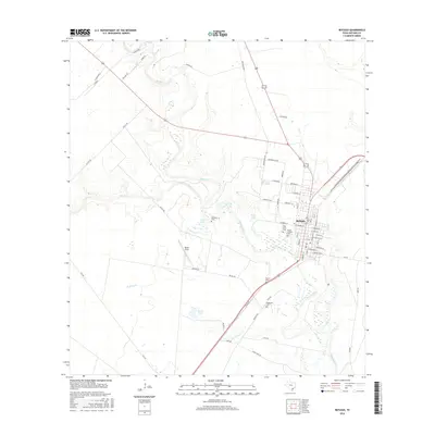
2016 Map of Refugio
USGS Topo · Published 2016About this map
Refugio serves as the focal point of this South Texas survey, situated where the Mission River meets a network of local creeks including Blanco Cr and Medio Cr. The landscape is defined by its deep roots in the community, evidenced by several established burial grounds such as Holy Cross Cem, Mount Calvary Cem, and Oakwood Cem. These sites, along with Heard Cem further south, provide a significant spatial record for genealogists and local historians tracking family lineage in the region.
Find a feature on this map
63 named features on this map. Tap any name to fly to it.
Don’t see what you’re looking for? This feature index may not catch every label — zoom into the map to look around manually.
Map Details
Editions of this 2016 Refugio Map
This is the sole edition of this map. No revisions or reprints were ever made.
Other maps of this area

1953 · Beeville
USGS Topo · 1:250,000

1954 · Rockport
USGS Topo · 1:62,500

1954 · Woodsboro
USGS Topo · 1:62,500

1954 · Vidaurri
USGS Topo · 1:62,500

1954 · Refugio
USGS Topo · 1:62,500

1956 · Beeville
USGS Topo · 1:250,000

1960 · Beeville
USGS Topo · 1:250,000

1978 · Woodsboro
USGS Topo · 1:24,000

1978 · Ryanville
USGS Topo · 1:24,000

1978 · Vidaurri
USGS Topo · 1:24,000