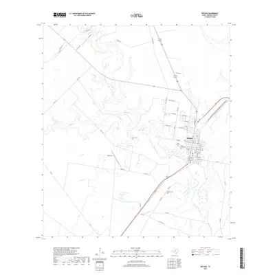
2019 Map of Refugio
USGS Topo · Published 2019About this map
The Mission River winds along the eastern edge of Refugio, a settlement defined by its grid of streets such as Houston St and Commons St. This coastal bend landscape is characterized by a network of drainage ways and small water bodies, including Blanco Creek, Medio Creek, and Duck Lake. Significant for genealogical research, the area contains several dedicated burial grounds like Holy Cross Cem, Mount Calvary Cem, and Oakwood Cem, alongside smaller family plots like Williams Cem. South of the main town center, Rooke Field and Rooke Lake mark the transition into more open ranch land, with local infrastructure supported by routes like Airport Rd and Kelley Rd. The proximity of these watercourses to the town center highlights the historical importance of the river system to the community's layout and development.
Find a feature on this map
66 named features on this map. Tap any name to fly to it.
Don’t see what you’re looking for? This feature index may not catch every label — zoom into the map to look around manually.
Map Details
Editions of this 2019 Refugio Map
This is the sole edition of this map. No revisions or reprints were ever made.
Other maps of this area

1953 · Beeville
USGS Topo · 1:250,000

1954 · Rockport
USGS Topo · 1:62,500

1954 · Woodsboro
USGS Topo · 1:62,500

1954 · Vidaurri
USGS Topo · 1:62,500

1954 · Refugio
USGS Topo · 1:62,500

1956 · Beeville
USGS Topo · 1:250,000

1960 · Beeville
USGS Topo · 1:250,000

1978 · Woodsboro
USGS Topo · 1:24,000

1978 · Ryanville
USGS Topo · 1:24,000

1978 · Vidaurri
USGS Topo · 1:24,000