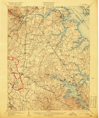
1907 Map of Relay
USGS Topo · Published 1918About this map
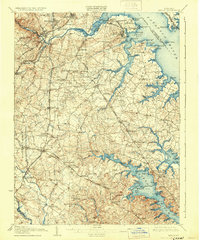
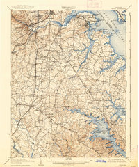
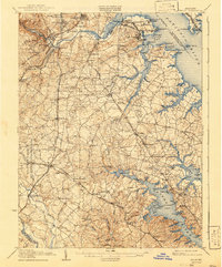
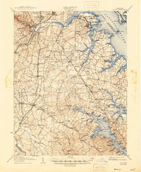
Camp Meade dominates the southwestern quadrant of this coastal Maryland survey, reflecting the military expansion of the early twentieth century. This detailed landscape captures the complex industrial and maritime geography surrounding the Patapsco River and the Severn River before the heavy urbanization of the modern era. To the north, the defenses of Fort McHenry and Fort Carroll guard the entrance to the harbor, while the shoreline is dotted with historic maritime infrastructure such as Raisins Wharf and the Quarantine station.
Find a feature on this map
147 named features on this map. Tap any name to fly to it.
Don’t see what you’re looking for? This feature index may not catch every label — zoom into the map to look around manually.
Map Details
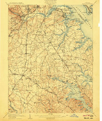
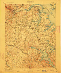
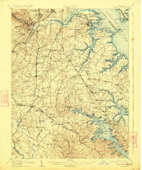
Editions of this 1907 Relay Map
8 editions found
Other maps of this area

1892 · Laurel
USGS Topo · 1:62,500

1892 · Ellicott
USGS Topo · 1:62,500

1892 · Owensville
USGS Topo · 1:62,500

1892 · Annapolis
USGS Topo · 1:62,500

1893 · North Point
USGS Topo · 1:62,500

1893 · Gunpowder
USGS Topo · 1:62,500

1894 · Ellicott
USGS Topo · 1:62,500

1894 · Laurel
USGS Topo · 1:62,500

1894 · Baltimore
USGS Topo · 1:62,500

1894 · Relay
USGS Topo · 1:62,500