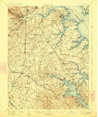
1907 Map of Relay
USGS Topo · Published 1923About this map
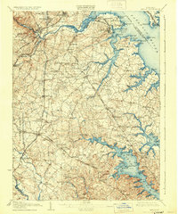
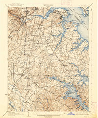
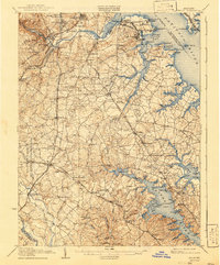
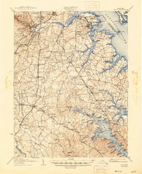
The Patapsco River and its intricate estuaries define this early 20th-century landscape, where industrial port activity at Brooklyn and Masonville meets the rural hinterlands of Anne Arundel County. The map documents a critical period of transportation development, showing the established B. & O. R. R. alongside newer electric lines like the W. B. & A. Electric Railway. Shoreline features such as Fort Mc Henry, Fort Carroll, and the Quarantine station highlight the maritime defenses and health protocols guarding the approach to Baltimore. Inland, the map reveals a mosaic of small communities and social centers, including Waugh Chapel, St. Stephens Church, and Friendship Church. The presence of the Maryland Rifle Range near Marley and the cluster of landings along the Severn River, such as Indian Ldg., offer specific points of interest for local historians and genealogists tracing family locations before mid-century suburban expansion.
Find a feature on this map
154 named features on this map. Tap any name to fly to it.
Don’t see what you’re looking for? This feature index may not catch every label — zoom into the map to look around manually.
Map Details
Editions of this 1907 Relay Map
8 editions found
Other maps of this area

1892 · Laurel
USGS Topo · 1:62,500

1892 · Ellicott
USGS Topo · 1:62,500

1892 · Owensville
USGS Topo · 1:62,500

1892 · Annapolis
USGS Topo · 1:62,500

1893 · North Point
USGS Topo · 1:62,500

1893 · Gunpowder
USGS Topo · 1:62,500

1894 · Ellicott
USGS Topo · 1:62,500

1894 · Laurel
USGS Topo · 1:62,500

1894 · Baltimore
USGS Topo · 1:62,500

1894 · Relay
USGS Topo · 1:62,500