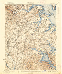
1907 Map of Relay
USGS Topo · Published 1939About this map
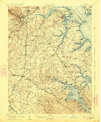
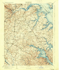
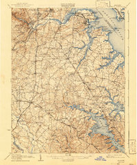
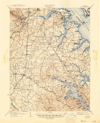
The Patapsco River and Severn River define this coastal Maryland landscape, where early 20th-century transportation networks converge. The map illustrates a transition from the industrial shoreline of Curtis Bay, marked by maritime sites like Wagners Pt. and Sollers Pt., to the rural reaches of Anne Arundel Co. Small settlements and stations like Halethorpe Sta., Wellhams, and Ehrmansville line the rail corridors, including the W. B. & A. Electric R. R. and the B. & O. R. R.
Find a feature on this map
150 named features on this map. Tap any name to fly to it.
Don’t see what you’re looking for? This feature index may not catch every label — zoom into the map to look around manually.
Map Details
Editions of this 1907 Relay Map
8 editions found
Other maps of this area

1892 · Laurel
USGS Topo · 1:62,500

1892 · Ellicott
USGS Topo · 1:62,500

1892 · Owensville
USGS Topo · 1:62,500

1892 · Annapolis
USGS Topo · 1:62,500

1893 · North Point
USGS Topo · 1:62,500

1893 · Gunpowder
USGS Topo · 1:62,500

1894 · Ellicott
USGS Topo · 1:62,500

1894 · Laurel
USGS Topo · 1:62,500

1894 · Baltimore
USGS Topo · 1:62,500

1894 · Relay
USGS Topo · 1:62,500