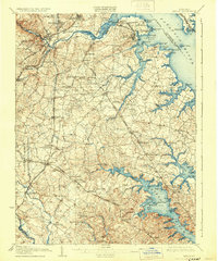
1907 Map of Relay
USGS Topo · Published 1931About this map
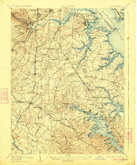
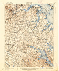
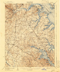
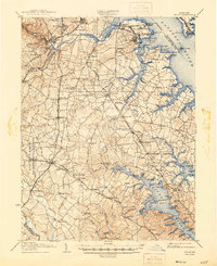
Patapsco River commerce and the developing industrial shoreline of South Baltimore define this early 20th-century landscape. The map captures a critical period of infrastructure growth, showing the intricate network of the B. & O. R. R. and several electric lines, including the Maryland Electric Railways, weaving through settlements like Linthicum and Pumphrey. To the south, the Fort George G. Meade Military Reservation and the Maryland Rifle Range highlight the region's strategic importance, while the Quarantine and Fort Carroll guard the approaches to the harbor.
Find a feature on this map
136 named features on this map. Tap any name to fly to it.
Don’t see what you’re looking for? This feature index may not catch every label — zoom into the map to look around manually.
Map Details
Editions of this 1907 Relay Map
8 editions found
Other maps of this area

1892 · Laurel
USGS Topo · 1:62,500

1892 · Ellicott
USGS Topo · 1:62,500

1892 · Owensville
USGS Topo · 1:62,500

1892 · Annapolis
USGS Topo · 1:62,500

1893 · North Point
USGS Topo · 1:62,500

1893 · Gunpowder
USGS Topo · 1:62,500

1894 · Ellicott
USGS Topo · 1:62,500

1894 · Laurel
USGS Topo · 1:62,500

1894 · Baltimore
USGS Topo · 1:62,500

1894 · Relay
USGS Topo · 1:62,500