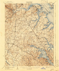
1907 Map of Relay
USGS Topo · Published 1941About this map
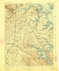
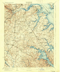
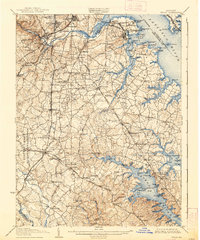
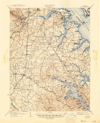
Coastal waterways and industrial shorelines dominate this landscape south of Baltimore during the early 20th century. The intricate fingers of the Severn River and Magothy River define the lower half of the sheet, while the Patapsco River provides the northern boundary, guarded by historic fortifications like Fort McHenry and Fort Carroll. The interior reveals a mix of developing transportation networks and established rural landmarks. The Baltimore & Ohio R.R. and several major roads, including Washington Road and Annapolis Road, connect small hubs like Odenton and Millersville. Inland social life is anchored by traditional centers such as Friendship Church, Waugh Chapel, and the Cedar Hill Cemetery. The large expanse of the Fort Meade Military Reservation sits as a prominent fixture in the southwest, contrasting with the active waterfronts of Curtis Bay and its industrial Raisins Wharf.
Find a feature on this map
139 named features on this map. Tap any name to fly to it.
Don’t see what you’re looking for? This feature index may not catch every label — zoom into the map to look around manually.
Map Details
Editions of this 1907 Relay Map
8 editions found
Other maps of this area

1892 · Laurel
USGS Topo · 1:62,500

1892 · Ellicott
USGS Topo · 1:62,500

1892 · Owensville
USGS Topo · 1:62,500

1892 · Annapolis
USGS Topo · 1:62,500

1893 · North Point
USGS Topo · 1:62,500

1893 · Gunpowder
USGS Topo · 1:62,500

1894 · Ellicott
USGS Topo · 1:62,500

1894 · Laurel
USGS Topo · 1:62,500

1894 · Baltimore
USGS Topo · 1:62,500

1894 · Relay
USGS Topo · 1:62,500