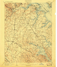
1907 Map of Relay
USGS Topo · Published 1907About this map
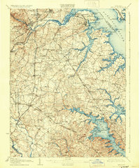
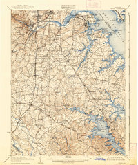
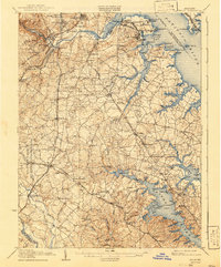
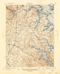
The Patapsco River and Severn River define this coastal landscape at the start of the twentieth century, where industrial growth and maritime trade meet established inland settlements. Strategic fortifications like Fort Mc Henry and Fort Carroll guard the approaches to the harbor, while the shoreline is dotted with active commercial hubs such as Raisins Wharf and Wagners Pt. The interior reveals a dense network of early rail lines, including the Baltimore and Ohio Railroad and the Maryland Electric Railroad, which connected towns like Relay, Elkridge, and Linthicum. Genealogists will find interest in the documented rural churches, such as Friendship Church and St. Stephens Church, and the expansive Cedar Hill Cemetery. The transition from river to bay is marked by numerous creeks and coves, including Marley Creek and Sullivan Cove, illustrating the intricate water-based economy of Anne Arundel County before modern suburban expansion.
Find a feature on this map
157 named features on this map. Tap any name to fly to it.
Don’t see what you’re looking for? This feature index may not catch every label — zoom into the map to look around manually.
Map Details
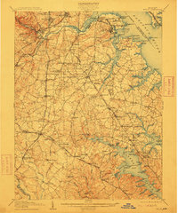
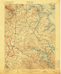
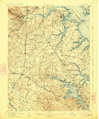
Editions of this 1907 Relay Map
8 editions found
Other maps of this area

1892 · Laurel
USGS Topo · 1:62,500

1892 · Ellicott
USGS Topo · 1:62,500

1892 · Owensville
USGS Topo · 1:62,500

1892 · Annapolis
USGS Topo · 1:62,500

1893 · North Point
USGS Topo · 1:62,500

1893 · Gunpowder
USGS Topo · 1:62,500

1894 · Ellicott
USGS Topo · 1:62,500

1894 · Laurel
USGS Topo · 1:62,500

1894 · Baltimore
USGS Topo · 1:62,500

1894 · Relay
USGS Topo · 1:62,500