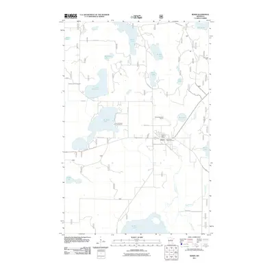
2011 Map of Remer
USGS Topo · Published 2011About this map
Remer serves as the central hub of this Cass County landscape, situated at the junction of several regional routes and the Remer Post Office. The town's layout and surrounding recreation sites, such as the Remer Motel and Campground and Remer Municipal Airport, reflect its role as a northern Minnesota gateway. The area is defined by a dense network of glacial water bodies, including the expansive Big Sand Lake, Big Rice Lake, and Grave Lake, which are connected by waterways like the Swift River and the meandering Willow River.
Find a feature on this map
31 named features on this map. Tap any name to fly to it.
Don’t see what you’re looking for? This feature index may not catch every label — zoom into the map to look around manually.
Map Details
Editions of this 2011 Remer Map
This is the sole edition of this map. No revisions or reprints were ever made.
Other maps of this area

1953 · Duluth
USGS Topo · 1:250,000

1953 · Brainerd
USGS Topo · 1:250,000

1954 · Bemidji
USGS Topo · 1:250,000

1954 · Hibbing
USGS Topo · 1:250,000

1957 · Brainerd
USGS Topo · 1:250,000

1957 · Bemidji
USGS Topo · 1:250,000

1957 · Hibbing
USGS Topo · 1:250,000

1958 · Bemidji
USGS Topo · 1:250,000

1958 · Hibbing
USGS Topo · 1:250,000

1958 · Brainerd
USGS Topo · 1:250,000