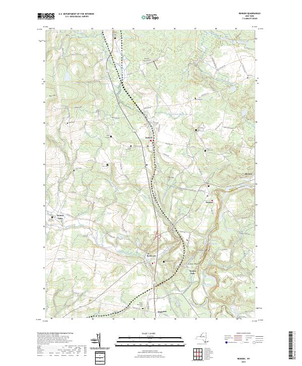
2023 Map of Remsen
USGS Topo · Published 2023About this map
Cincinnati Creek and West Canada Creek dominate the drainage of this Oneida County landscape, where the villages of Remsen and Barneveld serve as central hubs. The area is notable for its dense concentration of Welsh-named heritage sites, including Capel Isaf Cem, Capel Ucha Cem, and Penn Y Caerau Cem, reflecting the cultural history of the plateau.
Find a feature on this map
112 named features on this map. Tap any name to fly to it.
Don’t see what you’re looking for? This feature index may not catch every label — zoom into the map to look around manually.
Map Details
Editions of this 2023 Remsen Map
This is the sole edition of this map. No revisions or reprints were ever made.
Other maps of this area

1895 · Oriskany
USGS Topo · 1:62,500

1897 · Remsen
USGS Topo · 1:62,500

1898 · Utica
USGS Topo · 1:62,500

1898 · Oriskany
USGS Topo · 1:62,500

1900 · Utica
USGS Topo · 1:62,500

1900 · Remsen
USGS Topo · 1:62,500

1904 · Boonville
USGS Topo · 1:62,500

1943 · Newport
USGS Topo · 1:24,000
1945 · South Trenton
USGS Topo · 1:31,680
1945 · Newport
USGS Topo · 1:31,680