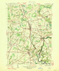
1947 Map of Remsen
USGS Topo · Published 1947About this map
West Canada Creek and Cincinnati Creek carve through the landscape of Oneida County in the mid-1940s, defining a region where early American history and industrial utility meet. The Baron Von Steuben Monument stands near Sixty Corners, marking the resting place of the "Drillmaster of the American Revolution." This 1945 survey documents the importance of the New York Central railroad, which links the villages of Remsen, Prospect, and Barneveld Station. Near Trenton Falls, the presence of a large Hydroelectric Plant and the Barge Canal Feeder illustrates the era's reliance on water power. For genealogists, the map is remarkably detailed, identifying numerous country churches and cemeteries like Penn-Y-Caerau Cem and Capel Ucha Ch, reflecting the deep Welsh heritage of these rural communities.
Find a feature on this map
49 named features on this map. Tap any name to fly to it.
Don’t see what you’re looking for? This feature index may not catch every label — zoom into the map to look around manually.
Map Details
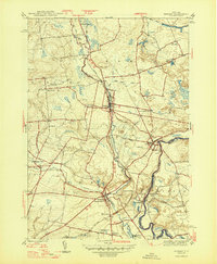
Editions of this 1947 Remsen Map
2 editions found
Other maps of this area

1895 · Oriskany
USGS Topo · 1:62,500

1897 · Remsen
USGS Topo · 1:62,500

1898 · Utica
USGS Topo · 1:62,500

1898 · Oriskany
USGS Topo · 1:62,500

1900 · Utica
USGS Topo · 1:62,500

1900 · Remsen
USGS Topo · 1:62,500

1904 · Boonville
USGS Topo · 1:62,500

1943 · Newport
USGS Topo · 1:24,000
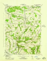
1945 · South Trenton
USGS Topo · 1:31,680
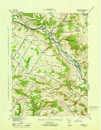
1945 · Newport
USGS Topo · 1:31,680