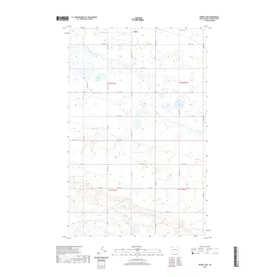
2020 Map of Rennie Lake
USGS Topo · Published 2020About this map
Lignite sits at the northern edge of this Burke County landscape, serving as the primary anchor in a region defined by its prairie potholes and agricultural grid. The terrain is characterized by numerous small wetlands and larger bodies such as Shallow Lake and the namesake Rennie Lake. These water features are part of a larger drainage system involving the East Branch Short Creek and its various tributaries, including the E Br Short Cr which meanders through the eastern sections. The map reveals a highly structured rural landscape where a network of section-line roads, such as 84th Ave NW and 100th St NW, divides the land into the precise townships of t162n r92w and t162n r91w. This layout reflects the enduring influence of the Public Land Survey System on the North Dakota plains, connecting isolated farmsteads via routes like Co Rd 8 and Township Rd.
Find a feature on this map
25 named features on this map. Tap any name to fly to it.
Don’t see what you’re looking for? This feature index may not catch every label — zoom into the map to look around manually.
Map Details
Editions of this 2020 Rennie Lake Map
This is the sole edition of this map. No revisions or reprints were ever made.
Other maps of this area

1947 · Flaxton
USGS Topo · 1:24,000

1948 · Flaxton
USGS Topo · 1:24,000

1948 · Beaver Lake
USGS Topo · 1:24,000

1948 · Woburn
USGS Topo · 1:24,000

1948 · Stampede
USGS Topo · 1:24,000

1949 · Rennie Lake
USGS Topo · 1:24,000

1949 · Portal
USGS Topo · 1:24,000

1950 · Flaxton
USGS Topo · 1:62,500

1950 · Portal
USGS Topo · 1:62,500

1953 · Williston
USGS Topo · 1:250,000