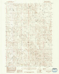
1984 Map of Reno Flats
USGS Topo · Published 1992About this map
Reno Flats serves as the focal point for this 1978 field-checked landscape in Campbell County, Wyoming. The terrain is defined by a sparse but vital network of water sources, essential for ranching and survival in this arid region. Major drainage systems including the West Prong Bates Creek and Little Bates Creek carve through the plains, eventually giving way to Buck Draw Creek in the south.
Find a feature on this map
8 named features on this map. Tap any name to fly to it.
Don’t see what you’re looking for? This feature index may not catch every label — zoom into the map to look around manually.
Map Details
Editions of this 1984 Reno Flats Map
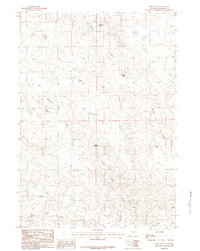
2 editions found
Other maps of this area

1955 · Newcastle
USGS Topo · 1:250,000

1958 · Newcastle
USGS Topo · 1:250,000

1959 · Betty Reservoir
USGS Topo · 1:62,500

1959 · Coal Draw
USGS Topo · 1:62,500

1960 · Turnercrest
USGS Topo · 1:62,500

1971 · Little Thunder Reservoir
USGS Topo · 1:24,000

1971 · Teckla SW
USGS Topo · 1:24,000

1974 · Reno Junction
USGS Topo · 1:100,000

1979 · Bill
USGS Topo · 1:100,000

1984 · Turnercrest
USGS Topo · 1:24,000