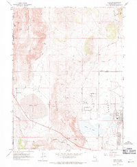
1967 Map of Reno NW
USGS Topo · Published 1971About this map
The high desert of northwestern Nevada is documented here during a period of expanding aviation and transportation infrastructure. Dominating the landscape is the Reno-Stead Airport in Lemmon Valley, surrounded by a growing network of residential roads like Santa Fe Rd and Plata Mesa Rd. The terrain is defined by the massive Petersen Mountain and Granite Hills, which separate the flat basins of White Lake and Silver Lake.
Find a feature on this map
40 named features on this map. Tap any name to fly to it.
Don’t see what you’re looking for? This feature index may not catch every label — zoom into the map to look around manually.
Map Details
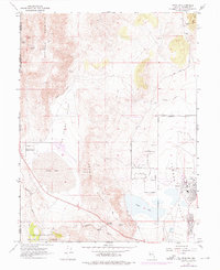
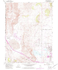
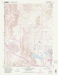
Editions of this 1967 Reno NW Map
4 editions found
Other maps of this area

1890 · Sierraville
USGS Topo · 1:125,000

1891 · Reno
USGS Topo · 1:125,000

1892 · Sierraville
USGS Topo · 1:125,000

1893 · Reno
USGS Topo · 1:125,000

1894 · Sierraville
USGS Topo · 1:125,000

1950 · Chilcoot
USGS Topo · 1:62,500

1950 · Reno
USGS Topo · 1:62,500

1951 · Reno
USGS Topo · 1:62,500

1955 · Loyalton
USGS Topo · 1:62,500

1957 · Dogskin Mountain
USGS Topo · 1:62,500