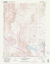
1967 Map of Reno NW
USGS Topo · Published 1983About this map
Lemmon Valley and Spring Valley provide a clear view of the northern expansion of Reno and the industrial-transportation corridor along the Western Pacific railroad. The map records a landscape in transition, where the rugged slopes of Petersen Mountain and the Granite Hills meet emerging suburban and aviation developments. The Reno-Stead Airport dominates the eastern flatlands, while the small settlement of Border Town sits right on the California-Nevada state line.
Find a feature on this map
40 named features on this map. Tap any name to fly to it.
Don’t see what you’re looking for? This feature index may not catch every label — zoom into the map to look around manually.
Map Details
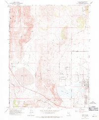
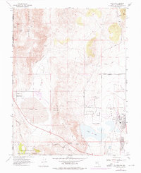
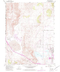
Editions of this 1967 Reno NW Map
4 editions found
Other maps of this area

1890 · Sierraville
USGS Topo · 1:125,000

1891 · Reno
USGS Topo · 1:125,000

1892 · Sierraville
USGS Topo · 1:125,000

1893 · Reno
USGS Topo · 1:125,000

1894 · Sierraville
USGS Topo · 1:125,000

1950 · Chilcoot
USGS Topo · 1:62,500

1950 · Reno
USGS Topo · 1:62,500

1951 · Reno
USGS Topo · 1:62,500

1955 · Loyalton
USGS Topo · 1:62,500

1957 · Dogskin Mountain
USGS Topo · 1:62,500