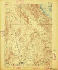
1893 Map of Reno
USGS Topo · Published 1900About this map
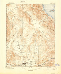
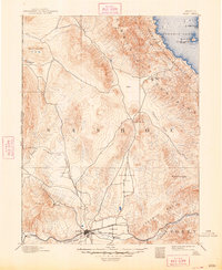
Reno serves as the focal point of this late 19th-century survey, situated at the confluence of several early transportation arteries in the Truckee Meadows. The settlement is a hub where the Central Pacific Railroad meets the V. & T. R. R. and the California and Oregon Railroad, highlighting its emergence as a regional logistics center. Outside the growing town center, the landscape is defined by broad valleys like Lemmon Valley and Spanish Spring Valley, separated by the prominent Virginia Mountains.
Find a feature on this map
34 named features on this map. Tap any name to fly to it.
Don’t see what you’re looking for? This feature index may not catch every label — zoom into the map to look around manually.
Map Details
Editions of this 1893 Reno Map
7 editions found

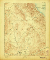
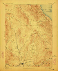
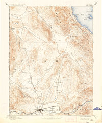
Other maps of this area

1886 · Honey Lake
USGS Topo · 1:250,000

1886 · Granite Range
USGS Topo · 1:250,000

1890 · Wadsworth
USGS Topo · 1:125,000

1890 · Sierraville
USGS Topo · 1:125,000

1891 · Honey Lake
USGS Topo · 1:250,000

1891 · Carson
USGS Topo · 1:125,000

1891 · Truckee
USGS Topo · 1:125,000

1891 · Wabuska
USGS Topo · 1:125,000

1891 · Reno
USGS Topo · 1:125,000

1892 · Wadsworth
USGS Topo · 1:125,000