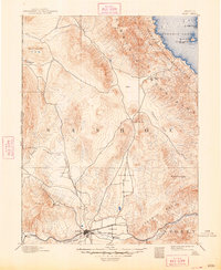
1893 Map of Reno
USGS Topo · Published 1948About this map
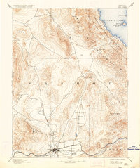
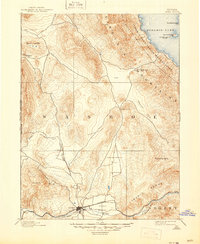
The Truckee Meadows serve as the focal point for this late 19th-century landscape, where the growing settlement of Reno sits at a critical junction of early Nevada transportation. The Central Pacific Railroad follows the Truckee River corridor through Verdi and Glendale, while the V. & T. R. R. branches south. To the north, the California and Oregon Railroad cuts through Lemmon Valley, indicating the region's importance as a freight and passenger hub.
Find a feature on this map
35 named features on this map. Tap any name to fly to it.
Don’t see what you’re looking for? This feature index may not catch every label — zoom into the map to look around manually.
Map Details
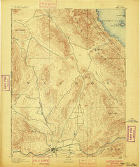
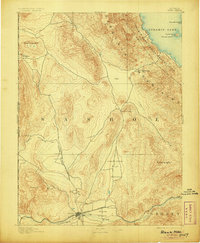
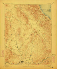
Editions of this 1893 Reno Map
7 editions found

Other maps of this area

1886 · Honey Lake
USGS Topo · 1:250,000

1886 · Granite Range
USGS Topo · 1:250,000

1890 · Wadsworth
USGS Topo · 1:125,000

1890 · Sierraville
USGS Topo · 1:125,000

1891 · Honey Lake
USGS Topo · 1:250,000

1891 · Carson
USGS Topo · 1:125,000

1891 · Truckee
USGS Topo · 1:125,000

1891 · Wabuska
USGS Topo · 1:125,000

1891 · Reno
USGS Topo · 1:125,000

1892 · Wadsworth
USGS Topo · 1:125,000