
Loading...
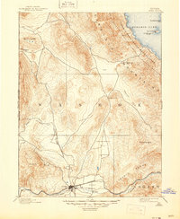
Loading map...1893 Map of Reno
USGS Topo · Published 1893About this map
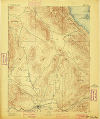
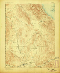
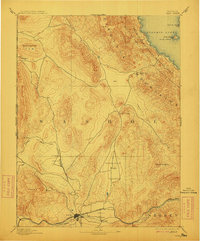
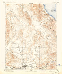
Reno serves as the focal point of this late-nineteenth-century landscape, positioned where the Truckee River flows through the Truckee Meadows. The map illustrates a critical rail junction, featuring the Central Pacific Railroad, the V. & T. R. R., and the Nevada and Oregon Railroad radiating from the growing city. To the north, the terrain transitions into the high desert peaks of the Virginia Mountains and the vast waters of Pyramid Lake, which is largely contained within the Pyramid Lake Indian Reservation.
Find a feature on this map
34 named features on this map. Tap any name to fly to it.
Don’t see what you’re looking for? This feature index may not catch every label — zoom into the map to look around manually.
Map Details
Date Portrayed1893
Date Published1893
PublisherU.S. Geological Survey
Map TypeTopographic
Scale1:125000
Physical Dimensions16.5 x 19.9 inches
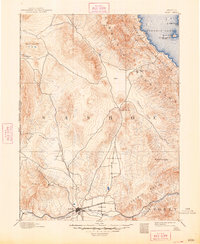
Editions of this 1893 Reno Map
7 editions found
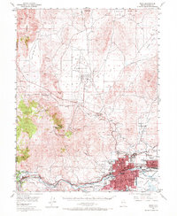
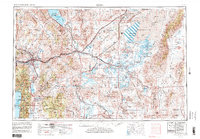
Historical Maps of Iron Stone Through Time
11 maps found




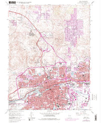
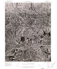
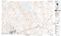
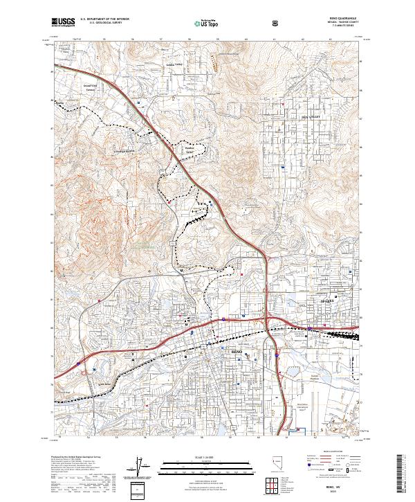
Featured Locations
Source Details
SourceU.S. Geological Survey
CopyrightPublic Domain