
1946 Map of Renovo East
USGS Topo · Published 1953About this map
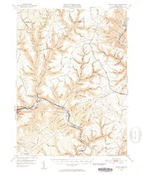
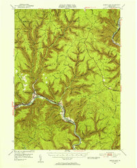
The West Branch Susquehanna River carves a deep path through the high plateaus of Clinton County, anchoring the timber and transit hubs of Renovo and South Renovo. During the mid-1940s, this corridor remained a vital artery for the Pennsylvania railroad, which follows the river's winding northern bank past Gleasonton and Hyner. The surrounding highlands of Summerson Mountain and Hyner Mountain are interlaced with an extensive network of footpaths like the Greenlick Trail and Italian Hollow Trail, reflecting the region's transition into a center for forestry and mountain recreation. Of particular note for local historians is the St Josephs Cem located near Farwell, and the small river communities of North Bend and Glen Union. The northeastern corner of the map reveals the striking topography of the Pine Creek Gorge, where the New York Central rail line navigates the narrow valley floor.
Find a feature on this map
115 named features on this map. Tap any name to fly to it.
Don’t see what you’re looking for? This feature index may not catch every label — zoom into the map to look around manually.
Map Details
Editions of this 1946 Renovo East Map
3 editions found
Other maps of this area

1921 · Howard
USGS Topo · 1:48,000

1921 · Lock Haven
USGS Topo · 1:62,500

1923 · Howard
USGS Topo · 1:62,500

1923 · Lock Haven
USGS Topo · 1:62,500

1928 · Snow Shoe
USGS Topo · 1:48,000

1931 · Show Shoe
USGS Topo · 1:62,500

1937 · Waterville
USGS Topo · 1:48,000

1943 · Hyner
USGS Topo · 1:62,500

1943 · Waterville
USGS Topo · 1:62,500

1944 · Lock Haven
USGS Topo · 1:62,500
Featured Places
- South Renovo, PA
- Gallagher Township, PA
- Lucullus, McHenry Township
- Brown Township, PA
- Ritchie, Grugan Township