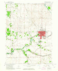
1962 Map of Rensselaer
USGS Topo · Published 1964About this map
The Iroquois River winds through the heart of Jasper County, defining the development of Rensselaer and the adjacent community of Collegeville. In the early 1960s, this area shows a dense concentration of civic and educational institutions, most notably the campus of St Josephs College and several local schools like Monnett Sch and Van Rensselaer Sch. The map reveals a deeply rooted community structure, evidenced by numerous spiritual centers such as St Augustine Ch and Bethany Ch, alongside historic burial grounds like Old Settlers Cem.
Find a feature on this map
36 named features on this map. Tap any name to fly to it.
Don’t see what you’re looking for? This feature index may not catch every label — zoom into the map to look around manually.
Map Details
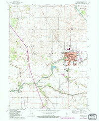
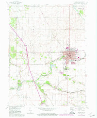
Editions of this 1962 Rensselaer Map
3 editions found
Other maps of this area

1953 · Chicago
USGS Topo · 1:250,000

1953 · Danville
USGS Topo · 1:250,000

1955 · Danville
USGS Topo · 1:250,000

1956 · Danville
USGS Topo · 1:250,000

1957 · Chicago
USGS Topo · 1:250,000

1961 · Mount Ayr
USGS Topo · 1:24,000

1962 · Gifford
USGS Topo · 1:24,000

1962 · Parr
USGS Topo · 1:24,000

1962 · Goodland
USGS Topo · 1:24,000
1962 · Fair Oaks
USGS Topo · 1:24,000