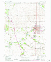
1962 Map of Rensselaer
USGS Topo · Published 1980About this map
St Josephs College and the surrounding campus at Collegeville anchor the southern edge of this mid-century Jasper County landscape. The Iroquois River winds through the center of the sheet, dividing the township boundaries of Newton, Marion, Barkley, and Jordan. In the settlement of Rensselaer, the street grid is well-defined by landmarks such as the County Hospital, Van Rensselaer Sch, and the Water Tank. Significant for family researchers, several burial sites are documented including Old Settlers Cem and Memory Gardens Cem. Industrial and transport footprints are visible through the Louisville and Nashville railroad line and various gravel operations like the Sand and Gravel Pit. The map also captures the rural character of the region, noting isolated landmarks like Surrey and North Newton Sch amidst a network of drainage ways such as Slough Creek and Carpenter Creek.
Find a feature on this map
46 named features on this map. Tap any name to fly to it.
Don’t see what you’re looking for? This feature index may not catch every label — zoom into the map to look around manually.
Map Details
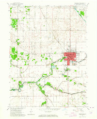
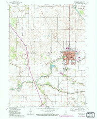
Editions of this 1962 Rensselaer Map
3 editions found
Other maps of this area

1953 · Chicago
USGS Topo · 1:250,000

1953 · Danville
USGS Topo · 1:250,000

1955 · Danville
USGS Topo · 1:250,000

1956 · Danville
USGS Topo · 1:250,000

1957 · Chicago
USGS Topo · 1:250,000

1961 · Mount Ayr
USGS Topo · 1:24,000

1962 · Gifford
USGS Topo · 1:24,000

1962 · Parr
USGS Topo · 1:24,000

1962 · Goodland
USGS Topo · 1:24,000
1962 · Fair Oaks
USGS Topo · 1:24,000