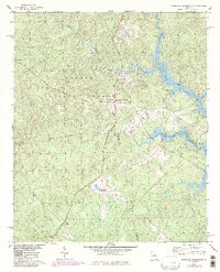
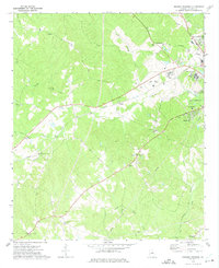
1978 Map of Resseaus Crossroads
USGS Topo · Published 1986About this map
Oconee National Forest covers much of this landscape, where the confluence of several water systems defines the local geography. The northern edge follows the winding path of Murder Creek, while the eastern portion is dominated by the sprawling reaches of Lake Sinclair. Small rural settlements and family landmarks are scattered throughout, including Resseaus Crossroads and Stanfordville.
Find a feature on this map
30 named features on this map. Tap any name to fly to it.
Don’t see what you’re looking for? This feature index may not catch every label — zoom into the map to look around manually.
Map Details
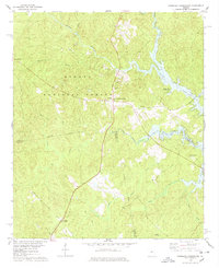
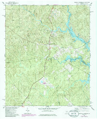
Editions of this 1978 Resseaus Crossroads Map
3 editions found
Other maps of this area

1953 · Athens
USGS Topo · 1:250,000

1958 · Athens
USGS Topo · 1:250,000

1959 · Athens
USGS Topo · 1:250,000

1963 · Athens
USGS Topo · 1:250,000

1964 · Gray
USGS Topo · 1:24,000

1964 · Stanfordville
USGS Topo · 1:24,000

1972 · Meda
USGS Topo · 1:24,000

1972 · Eatonton
USGS Topo · 1:24,000
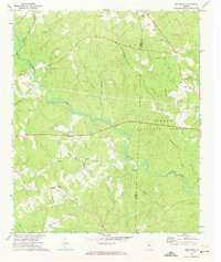
1972 · Smithboro
USGS Topo · 1:24,000
1972 · Browns Crossing
USGS Topo · 1:24,000