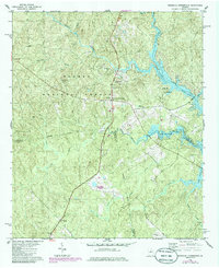
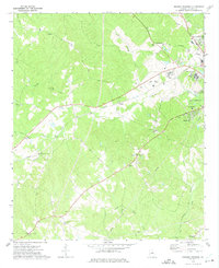
1978 Map of Resseaus Crossroads
USGS Topo · Published 1986About this map
Oconee National Forest encompasses much of the northern landscape in this mid-1980s photorevised survey, where the rolling woodland meets the rising waters of Lake Sinclair. The settlement at Resseaus Crossroads serves as a central point for the community, flanked by numerous rural sanctuaries including Pierce Chapel Ch and Bethlehem Ch. To the south, the village of Ethridge sits near the winding paths of Little Cedar Creek and Potato Creek, illustrating the area's transition from forest to managed river basin. The map documents the intricate boundary lines where Putnam Co, Jones Co, and Baldwin Co converge. Significant local history is found in the distribution of family-named water features like Baker Br and Hitchcock Branch, alongside the Sinclair Lake Recreation Area which highlights the region's developing utility as a recreational destination during the late 20th century.
Find a feature on this map
30 named features on this map. Tap any name to fly to it.
Don’t see what you’re looking for? This feature index may not catch every label — zoom into the map to look around manually.
Map Details
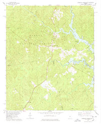
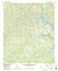
Editions of this 1978 Resseaus Crossroads Map
3 editions found
Other maps of this area

1953 · Athens
USGS Topo · 1:250,000

1958 · Athens
USGS Topo · 1:250,000

1959 · Athens
USGS Topo · 1:250,000

1963 · Athens
USGS Topo · 1:250,000

1964 · Gray
USGS Topo · 1:24,000

1964 · Stanfordville
USGS Topo · 1:24,000

1972 · Meda
USGS Topo · 1:24,000

1972 · Eatonton
USGS Topo · 1:24,000
1972 · Smithboro
USGS Topo · 1:24,000
1972 · Browns Crossing
USGS Topo · 1:24,000