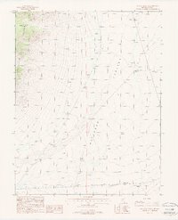
1987 Map of Reveille Peak SE
USGS Topo · Published 1988About this map
Railroad Valley and the eastern slopes of the Reveille Range dominate this 1980s landscape in Nye County. The terrain is characterized by the descent from high mountain peaks into the broad alluvial floor of the valley, where human activity is sparse but specialized. Resource extraction is evident through a mapped Gravel Pit and an isolated Prospect high on the range's shoulder, reflecting the region's enduring mining heritage. Water management is a primary feature of the lowlands, with a significant Aqueduct traversing the southern portion of the sheet. Pastoral use is also documented by a remote Corral, illustrating the multi-use nature of this high-desert environment before the close of the twentieth century.
Find a feature on this map
6 named features on this map. Tap any name to fly to it.
Don’t see what you’re looking for? This feature index may not catch every label — zoom into the map to look around manually.
Map Details
Editions of this 1987 Reveille Peak SE Map
This is the sole edition of this map. No revisions or reprints were ever made.
Other maps of this area

1908 · Kawich
USGS Topo · 1:250,000

1942 · Reveille Peak
USGS Topo · 1:125,000

1942 · Penoyer Valley
USGS Topo · 1:125,000

1952 · White Blotch Springs
USGS Topo · 1:62,500

1952 · Reveille Peak
USGS Topo · 1:62,500

1952 · Belted Peak
USGS Topo · 1:62,500

1954 · Caliente
USGS Topo · 1:250,000

1954 · Goldfield
USGS Topo · 1:250,000

1955 · Goldfield
USGS Topo · 1:250,000

1958 · Goldfield
USGS Topo · 1:250,000