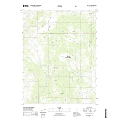
2020 Map of Rex Reservoir
USGS Topo · Published 2020About this map
Fishlake National Forest defines the character of this high-elevation landscape in Sevier County, where a complex network of forest trails and water sources sustained remote ranching and timber operations. Water management is a primary theme of the terrain, centered on the Rex Reservoir and a multitude of named springs including Kinnikinnick Spring, Fallon Spring, and Josiah Springs. The topography is marked by distinctive flats and swales, such as Hearthstone Flat, Zero Flat, and Coonah Swale, which provided level ground amidst the ridges leading to Black Mtn.
Find a feature on this map
55 named features on this map. Tap any name to fly to it.
Don’t see what you’re looking for? This feature index may not catch every label — zoom into the map to look around manually.
Map Details
Editions of this 2020 Rex Reservoir Map
This is the sole edition of this map. No revisions or reprints were ever made.
Other maps of this area

1885 · Fish Lake
USGS Topo · 1:250,000

1896 · Fish Lake
USGS Topo · 1:250,000

1956 · Salina
USGS Topo · 1:250,000

1960 · Salina
USGS Topo · 1:250,000

1962 · Salina
USGS Topo · 1:250,000
1966 · Steves Mtn
USGS Topo · 1:24,000
1966 · Rex Reservoir
USGS Topo · 1:24,000
1966 · Salina
USGS Topo · 1:24,000
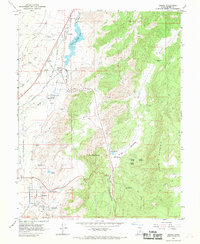
1966 · Sigurd
USGS Topo · 1:24,000
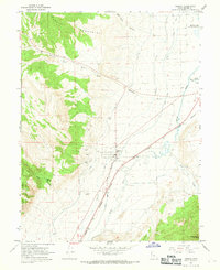
1966 · Aurora
USGS Topo · 1:24,000