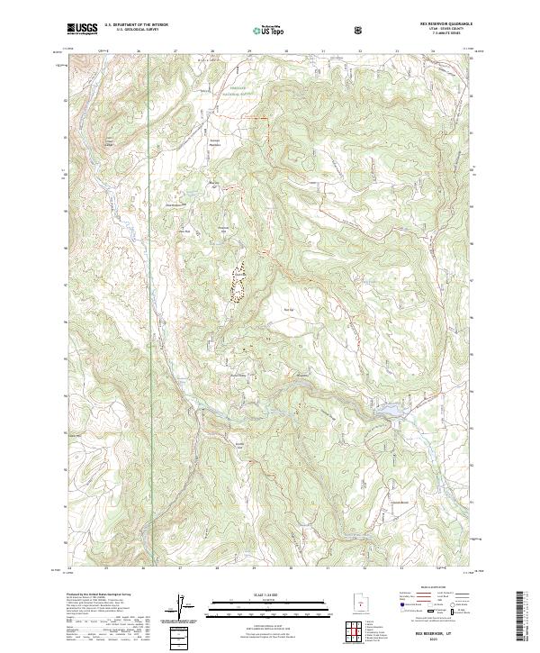
2023 Map of Rex Reservoir
USGS Topo · Published 2023About this map
Fishlake National Forest dominates this high-altitude landscape in Sevier County, where a complex network of forest trails and water sources defines the terrain. The central drainage of Lost Creek is joined by Little Lost Creek and Sweet Water Creek, feeding into the irrigation-critical Rex Reservoir. This survey highlights the local nomenclature for the series of plateau-like flats that step across the region, including Hearthstone Flat, Pinenuts Flat, and Teah Flat. The presence of several distinct springs such as Fallon Spring, Flowell Spring, and Prowse Spring indicates the vital importance of water management in this high-country environment. The trail system, specifically the Brush Trail Paiute (D-4), reveals the routes utilized for both commerce and access through the steep transition from Black Mtn down to the named drainages like Dipping Vat Draw.
Find a feature on this map
49 named features on this map. Tap any name to fly to it.
Don’t see what you’re looking for? This feature index may not catch every label — zoom into the map to look around manually.
Map Details
Editions of this 2023 Rex Reservoir Map
This is the sole edition of this map. No revisions or reprints were ever made.
Other maps of this area

1885 · Fish Lake
USGS Topo · 1:250,000

1896 · Fish Lake
USGS Topo · 1:250,000

1956 · Salina
USGS Topo · 1:250,000

1960 · Salina
USGS Topo · 1:250,000

1962 · Salina
USGS Topo · 1:250,000
1966 · Steves Mtn
USGS Topo · 1:24,000
1966 · Rex Reservoir
USGS Topo · 1:24,000
1966 · Salina
USGS Topo · 1:24,000
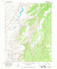
1966 · Sigurd
USGS Topo · 1:24,000
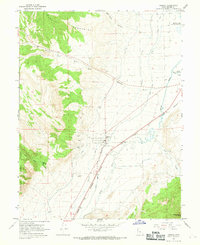
1966 · Aurora
USGS Topo · 1:24,000