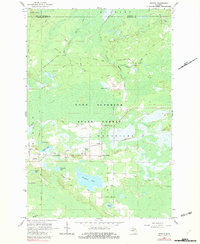
1964 Map of Rexton
USGS Topo · Published 1982About this map
Industrial activity and forest management intersect in the Upper Peninsula, where the Hiawatha National Forest and Lake Superior State Forest meet. The settlement of Rexton sits as a primary hub along the Soo Line, surrounded by several smaller locales including Caffey and Caffey Corner. The landscape is defined by its extraction history, prominently featuring the Fiborn Quarry and Fiborn Pond, which are linked to the rail network and various legacy logging routes like the Dinkey Line and Old Railroad Grade. This mid-century view documents the intricate water system feeding the Hendrie River, dotted with numerous family-named lakes such as Strouble Lake and Ryerse Lake. Local genealogy and land-use researchers will find value in the placement of the Caffey Cem and the small cluster at Crossville, providing a clear look at the region before late-20th-century shifts.
Find a feature on this map
37 named features on this map. Tap any name to fly to it.
Don’t see what you’re looking for? This feature index may not catch every label — zoom into the map to look around manually.
Map Details
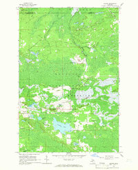
Editions of this 1964 Rexton Map
2 editions found
Other maps of this area

1931 · Epoufette SE
USGS Topo · 1:31,680

1931 · Epoufette NE
USGS Topo · 1:31,680

1931 · Epoufette NW
USGS Topo · 1:31,680

1931 · Epoufette SW
USGS Topo · 1:31,680

1931 · Gilchrist NE
USGS Topo · 1:31,680

1951 · Hulbert
USGS Topo · 1:24,000

1951 · Eckerman
USGS Topo · 1:24,000

1951 · Eckerman
USGS Topo · 1:62,500

1954 · Sault Sainte Marie
USGS Topo · 1:250,000

1956 · Sault Sainte Marie
USGS Topo · 1:250,000