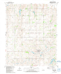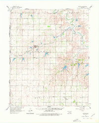
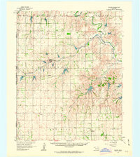
1961 Map of Reydon
USGS Topo · Published 1978About this map
Reydon serves as the primary hub of this Western Oklahoma landscape at the turn of the 1960s, situated where the Panhandle and Santa Fe railroad cuts across the plains. This era captures a rural network of small agricultural centers and family landmarks, including the settlements of Rankin, Dempsey, and Berlin. The terrain is defined by the drainage basins of the Washita River and Rush Creek, punctuated by Numerous spillways and small reservoirs that indicate the water management practices essential to this prairie environment. Genealogists can locate several local burial grounds, such as Union Chapel Cem and White Rose Cem, while the presence of a Community Hall near the southern boundary suggests the focal points of social life in these small ranching communities. The map also delineates township-level divisions like Streeter, Bowman, and Meridian, reflecting the formal survey organization of Roger Mills County.
Find a feature on this map
25 named features on this map. Tap any name to fly to it.
Don’t see what you’re looking for? This feature index may not catch every label — zoom into the map to look around manually.
Map Details
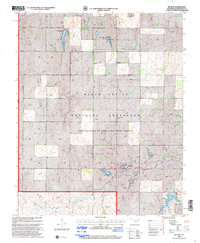
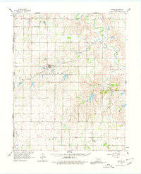
Editions of this 1961 Reydon Map
3 editions found
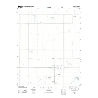
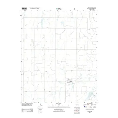
Historical Maps of Reydon Through Time
8 maps found