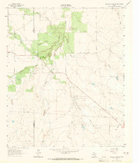
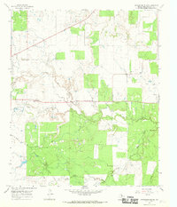
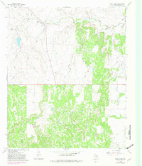
1966 Map of Reynolds Bend
USGS Topo · Published 1968This historical map portrays the area of Reynolds Bend in 1966, primarily covering Throckmorton County. Featuring a scale of 1:24000, this map provides a highly detailed snapshot of the terrain, roads, buildings, counties, and historical landmarks in the Reynolds Bend region at the time. Published in 1968, it is one of 2 known editions of this map due to revisions or reprints.
Find a feature on this map
40 named features on this map. Tap any name to fly to it.
Don’t see what you’re looking for? This feature index may not catch every label — zoom into the map to look around manually.
Map Details
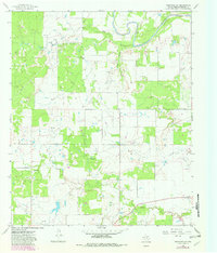
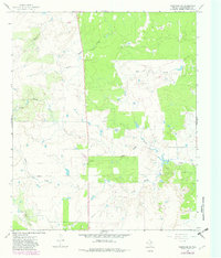
Editions of this 1966 Reynolds Bend Map
2 editions found
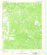
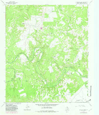
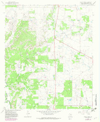
Historical Maps of Gentry Crossing Through Time
10 maps found
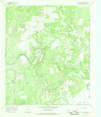
1962 Antelope Creek SE
Throckmorton County, TX
1962 Antelope Creek SW
Throckmorton County, TX
1965 Reynolds Bend NW
Throckmorton County, TX
1965 Throckmorton NE
Throckmorton County, TX
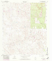
1966 Hoover Mountain
Throckmorton County, TX
1966 Reynolds Bend
Throckmorton County, TX
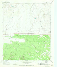
1966 Sibley Creek
Throckmorton County, TX
1966 Tonk Creek
Throckmorton County, TX
1966 Westover SE
Throckmorton County, TX
1966 Westover SW
Throckmorton County, TX
Featured Locations
- Bartholomew Crossing, TX
- Hayford Crossing, TX
- McKeichan Crossing, TX
- Paint Crossing, TX
- Reynolds Crossing, TX