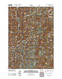
2011 Map of Reynolds Ridge
USGS Topo · Published 2011About this map
The Calapooya Mountains dominate this high-elevation landscape, where a network of forest service roads and timber access routes like Backhaul and Pumpkin TS crisscross the drainage basins of Steamboat Creek and Reynolds Creek. The terrain is punctuated by significant peaks and ridges, including Granddad Butte, Reynolds Butte, and Washboard Ridge. This area serves primarily as a recreational and resource management zone, evidenced by the scattered shelters and camps intended for backcountry travelers.
Find a feature on this map
47 named features on this map. Tap any name to fly to it.
Don’t see what you’re looking for? This feature index may not catch every label — zoom into the map to look around manually.
Map Details
Editions of this 2011 Reynolds Ridge Map
This is the sole edition of this map. No revisions or reprints were ever made.
Other maps of this area

1917 · Diamond Lake
USGS Topo · 1:125,000

1925 · Waldo Lake
USGS Topo · 1:125,000

1935 · Lowell
USGS Topo · 1:96,000

1942 · Lowell
USGS Topo · 1:125,000

1955 · Illahee Rock
USGS Topo · 1:62,500

1955 · Fairview Peak
USGS Topo · 1:62,500

1956 · Toketee Falls
USGS Topo · 1:62,500

1956 · Oakridge
USGS Topo · 1:62,500

1958 · Roseburg
USGS Topo · 1:250,000

1959 · Roseburg
USGS Topo · 1:250,000