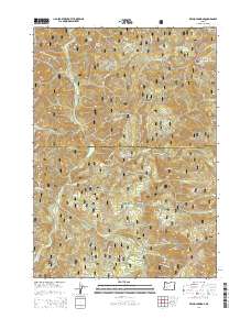
2014 Map of Reynolds Ridge
USGS Topo · Published 2014About this map
Willamette National Forest and Umpqua National Forest converge in this high-elevation landscape along the boundary of Lane and Douglas Counties. The terrain is defined by a series of prominent peaks and ridges, including Buster Butte, Granddad Butte, and Reynolds Ridge. The area is heavily marked by a network of forest development roads, such as Nat For Dev Rd 3816 and Nat For Dev Rd 100, which provide access to secluded water bodies like Bullpup Lake and Fuller Lake.
Find a feature on this map
53 named features on this map. Tap any name to fly to it.
Don’t see what you’re looking for? This feature index may not catch every label — zoom into the map to look around manually.
Map Details
Editions of this 2014 Reynolds Ridge Map
This is the sole edition of this map. No revisions or reprints were ever made.
Other maps of this area

1917 · Diamond Lake
USGS Topo · 1:125,000

1925 · Waldo Lake
USGS Topo · 1:125,000

1935 · Lowell
USGS Topo · 1:96,000

1942 · Lowell
USGS Topo · 1:125,000

1955 · Illahee Rock
USGS Topo · 1:62,500

1955 · Fairview Peak
USGS Topo · 1:62,500

1956 · Toketee Falls
USGS Topo · 1:62,500

1956 · Oakridge
USGS Topo · 1:62,500

1958 · Roseburg
USGS Topo · 1:250,000

1959 · Roseburg
USGS Topo · 1:250,000