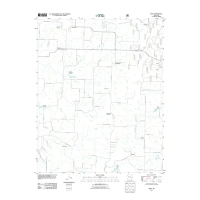
2011 Map of Rhea
USGS Topo · Published 2011About this map
Norwood Prairie and the surrounding highlands of Washington County are characterized by a network of small upland settlements and managed water resources. Centered around Weddington Mountain, the landscape is dotted with small-scale impoundments like Double Bar Ranch Lake, Meadows Lake, and Kinion Lake, illustrating the region's reliance on localized water management. The community of Weddington serves as a central point between Weddington Gap and the summit of Roundtop. Historic family and community connections are evident in the placement of the Norwood Cemetery, Beatty Cemetery, and Crawford Cemetery. To the south, Moores Creek and the Lincoln Lake Dam define the drainage patterns, while the Weddington Lookout Tower stands as a prominent landmark for forest oversight in this part of the Ozarks.
Find a feature on this map
85 named features on this map. Tap any name to fly to it.
Don’t see what you’re looking for? This feature index may not catch every label — zoom into the map to look around manually.
Map Details
Editions of this 2011 Rhea Map
This is the sole edition of this map. No revisions or reprints were ever made.
Other maps of this area

1898 · Tahlequah
USGS Topo · 1:125,000

1898 · Winslow
USGS Topo · 1:125,000

1899 · Fayetteville
USGS Topo · 1:125,000

1899 · Siloam Springs
USGS Topo · 1:125,000

1901 · Winslow
USGS Topo · 1:125,000

1901 · Fayetteville
USGS Topo · 1:125,000

1901 · Tahlequah
USGS Topo · 1:125,000

1903 · Siloam Springs
USGS Topo · 1:125,000

1904 · Siloam Springs
USGS Topo · 1:125,000

1904 · Fayetteville
USGS Topo · 1:125,000