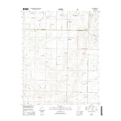
2014 Map of Rhea
USGS Topo · Published 2014About this map
Weddington Mtn and the surrounding reaches of the Ozark National Forest dominate this landscape on the border of Washington and Benton Counties. The area is characterized by a high concentration of named springs and small lakes, such as Roaring Spring, Double Bar Ranch Lake, and Lake Weddington, reflecting the unique hydrology of the Ozark plateau. Small settlements like Weddington, Trident, and Rhea are connected by a network of rural routes, including the N Jackson Hwy and State Hwy 16. For those researching family history, several local burial sites are noted, including Norwood Cem and Beatty Cem. The map also captures the Weddington Lookout Tower and Williams Field Airport, highlighting both the forestry management and the localized aviation infrastructure of the region.
Find a feature on this map
89 named features on this map. Tap any name to fly to it.
Don’t see what you’re looking for? This feature index may not catch every label — zoom into the map to look around manually.
Map Details
Editions of this 2014 Rhea Map
This is the sole edition of this map. No revisions or reprints were ever made.
Other maps of this area

1898 · Tahlequah
USGS Topo · 1:125,000

1898 · Winslow
USGS Topo · 1:125,000

1899 · Fayetteville
USGS Topo · 1:125,000

1899 · Siloam Springs
USGS Topo · 1:125,000

1901 · Winslow
USGS Topo · 1:125,000

1901 · Fayetteville
USGS Topo · 1:125,000

1901 · Tahlequah
USGS Topo · 1:125,000

1903 · Siloam Springs
USGS Topo · 1:125,000

1904 · Siloam Springs
USGS Topo · 1:125,000

1904 · Fayetteville
USGS Topo · 1:125,000