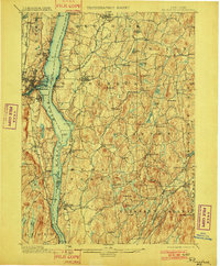
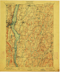
1898 Map of Rhinebeck
USGS Topo · Published 1901About this map
Hudson River commerce and rail development dominate this late 19th-century landscape, where the West Shore R.R. and several eastern lines converge toward the water. The bustling waterfront at Kingston and Port Ewen faces the agricultural estates of Rhinebeck and Hyde Park, connected by the Silvernails and Rhinecliff Branch. Inland, the terrain is defined by a dense network of hamlets such as Schultzville, Pleasant Plains, and Clinton Corners, each situated along the numerous creeks and ponds that drain toward the Hudson.
Find a feature on this map
85 named features on this map. Tap any name to fly to it.
Don’t see what you’re looking for? This feature index may not catch every label — zoom into the map to look around manually.
Map Details
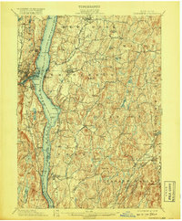
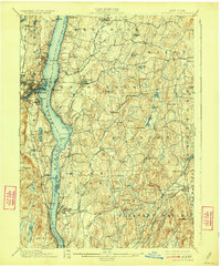
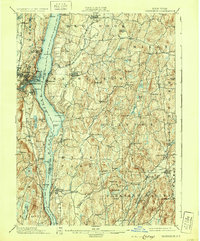
Editions of this 1898 Rhinebeck Map
9 editions found
Other maps of this area

1892 · Kaaterskill
USGS Topo · 1:62,500

1893 · Kaaterskill
USGS Topo · 1:62,500

1893 · Clove
USGS Topo · 1:62,500

1893 · Poughkeepsie
USGS Topo · 1:62,500

1894 · Clove
USGS Topo · 1:62,500

1894 · Kaaterskill
USGS Topo · 1:62,500

1894 · Poughkeepsie
USGS Topo · 1:62,500

1895 · Catskill
USGS Topo · 1:62,500

1898 · Clove
USGS Topo · 1:62,500

1898 · Rhinebeck
USGS Topo · 1:62,500