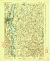
1898 Map of Rhinebeck
USGS Topo · Published 1924About this map
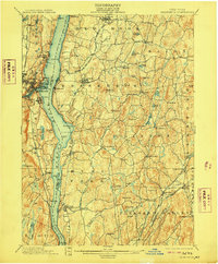
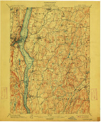
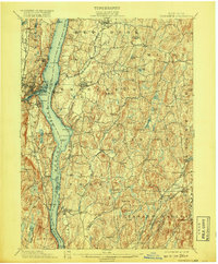
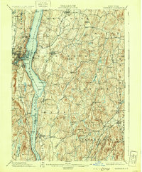
The Hudson River serves as the central artery for this late 19th-century survey, separating the bustling city of Kingston and the maritime hub of Rondout on the west bank from the rolling estates of Dutchess County on the east. The landscape reveals a complex network of transportation, where the West Shore RR hugs the riverbank while the Philadelphia Reading and New England RR cuts inland through the township of Rhinebeck.
Find a feature on this map
82 named features on this map. Tap any name to fly to it.
Don’t see what you’re looking for? This feature index may not catch every label — zoom into the map to look around manually.
Map Details
Editions of this 1898 Rhinebeck Map
9 editions found
Other maps of this area

1892 · Kaaterskill
USGS Topo · 1:62,500

1893 · Kaaterskill
USGS Topo · 1:62,500

1893 · Clove
USGS Topo · 1:62,500

1893 · Poughkeepsie
USGS Topo · 1:62,500

1894 · Clove
USGS Topo · 1:62,500

1894 · Kaaterskill
USGS Topo · 1:62,500

1894 · Poughkeepsie
USGS Topo · 1:62,500

1895 · Catskill
USGS Topo · 1:62,500

1898 · Clove
USGS Topo · 1:62,500

1898 · Rhinebeck
USGS Topo · 1:62,500