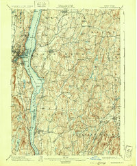
1898 Map of Rhinebeck
USGS Topo · Published 1931About this map
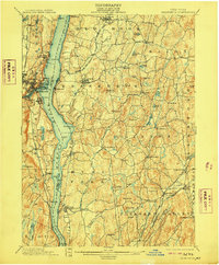
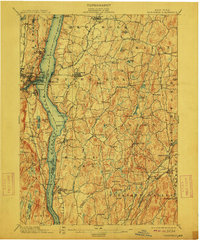
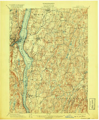
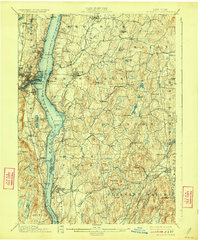
The Hudson River serves as the dominant artery of this late-19th-century landscape, dividing the riverfront communities of Rhinebeck and Hyde Park from the industrial nodes of Kingston and Rondout on the western shore. The map illustrates a mature transport network where the Hudson River R.R. and West Shore R.R. parallel the water, supporting established estates and trade hubs like Rhinecliff and Staatsburg. Inland, the terrain is characterized by a series of north-south ridges including Berger Hill and Schultz Mt., with numerous kills and creeks such as Landsman Kill and Crum Elbow Creek threading through the agricultural interior. Navigational landmarks like the Rondout Light and Esopus Light mark the river's channel, while smaller settlements like Clinton Corners and Hibernia anchor the eastern rural districts of Dutchess County.
Find a feature on this map
80 named features on this map. Tap any name to fly to it.
Don’t see what you’re looking for? This feature index may not catch every label — zoom into the map to look around manually.
Map Details
Editions of this 1898 Rhinebeck Map
9 editions found
Other maps of this area

1892 · Kaaterskill
USGS Topo · 1:62,500

1893 · Kaaterskill
USGS Topo · 1:62,500

1893 · Clove
USGS Topo · 1:62,500

1893 · Poughkeepsie
USGS Topo · 1:62,500

1894 · Clove
USGS Topo · 1:62,500

1894 · Kaaterskill
USGS Topo · 1:62,500

1894 · Poughkeepsie
USGS Topo · 1:62,500

1895 · Catskill
USGS Topo · 1:62,500

1898 · Clove
USGS Topo · 1:62,500

1898 · Rhinebeck
USGS Topo · 1:62,500