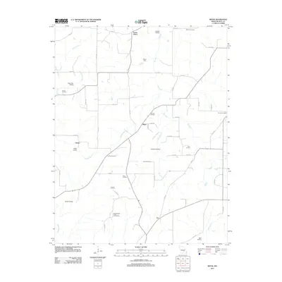
2011 Map of Rhyse
USGS Topo · Published 2011About this map
Dry Fork and its tributaries, including Swanson Branch and Humes Creek, carve through the Dent County landscape as it appeared in the early 21st century. The map reveals a dispersed rural community structured around small settlements like Rhyse, Ranger, and Joy. Family heritage is deeply embedded in the geography, with numerous burial grounds such as Woolford Cemetery, Berry Cemetery, and Wallace Cemetery dotting the terrain. The presence of the Montauk State Public Hunting Area in the south and the Mund Dam near Smoky Hollow indicates a region where traditional land use and conservation intersect. This survey provides a precise look at the network of county roads, such as Co RD-254 and Co RD-605, that connect the various hollows, including Coon Den Hollow and Johnson Hollow, which define the local topography.
Find a feature on this map
61 named features on this map. Tap any name to fly to it.
Don’t see what you’re looking for? This feature index may not catch every label — zoom into the map to look around manually.
Map Details
Editions of this 2011 Rhyse Map
This is the sole edition of this map. No revisions or reprints were ever made.
Other maps of this area

1932 · Cedar Grove
USGS Topo · 1:48,000

1937 · Edgar Springs
USGS Topo · 1:48,000

1941 · Salem
USGS Topo · 1:62,500

1945 · Salem
USGS Topo · 1:62,500

1945 · Edgar Springs
USGS Topo · 1:62,500

1949 · Rolla
USGS Topo · 1:250,000

1951 · Montauk
USGS Topo · 1:24,000

1951 · Licking
USGS Topo · 1:24,000

1951 · Cedargrove
USGS Topo · 1:24,000

1951 · Raymondville
USGS Topo · 1:62,500