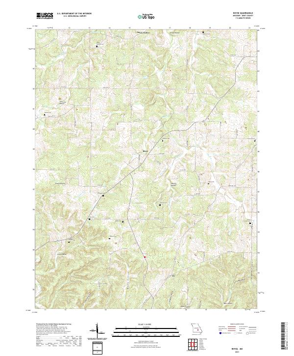
2021 Map of Rhyse
USGS Topo · Published 2021About this map
Rhyse and the surrounding Salem Upland are the central focus of this Missouri Ozarks survey, which illustrates a landscape defined by deep-set hollows and clear-water springs. The settlement of Rhyse sits at a crossroads of county routes, including Co RD 6050 and Co RD 2440, serving as a local hub for a region characterized by family-named landmarks and secluded valley drainages. To the south, the small community of Joy marks the southern reach of the map area near Inman Hollow.
Find a feature on this map
71 named features on this map. Tap any name to fly to it.
Don’t see what you’re looking for? This feature index may not catch every label — zoom into the map to look around manually.
Map Details
Editions of this 2021 Rhyse Map
This is the sole edition of this map. No revisions or reprints were ever made.
Other maps of this area

1932 · Cedar Grove
USGS Topo · 1:48,000

1937 · Edgar Springs
USGS Topo · 1:48,000

1941 · Salem
USGS Topo · 1:62,500

1945 · Salem
USGS Topo · 1:62,500

1945 · Edgar Springs
USGS Topo · 1:62,500

1949 · Rolla
USGS Topo · 1:250,000

1951 · Montauk
USGS Topo · 1:24,000

1951 · Licking
USGS Topo · 1:24,000

1951 · Cedargrove
USGS Topo · 1:24,000

1951 · Raymondville
USGS Topo · 1:62,500