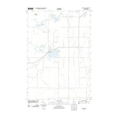
2010 Map of Rib Lake
USGS Topo · Published 2010About this map
The village of Rib Lake serves as the central hub of this Taylor County landscape, situated where the Big Rib River flows through a series of glacial water bodies. This 2010 survey illustrates a region defined by its water resources, from the expansive North Harper Lake and South Harper Lake in the north to the smaller Kennedy Lake and Little Rib Lake further south. Modern infrastructure is represented by the Dr Walther W Meyer Number 3 G4914 Dam, which manages local water levels. Local heritage is preserved at the Lake View Cemetery, located on the eastern shore of the main lake. The map reveals a transition from the structured residential blocks of the village to the recreational grounds of Camp Forest Springs, all connected by a network of rural routes such as County Hwy C and Rustic Road Number 1.
Find a feature on this map
57 named features on this map. Tap any name to fly to it.
Don’t see what you’re looking for? This feature index may not catch every label — zoom into the map to look around manually.
Map Details
Editions of this 2010 Rib Lake Map
This is the sole edition of this map. No revisions or reprints were ever made.
Other maps of this area

1902 · Marathon
USGS Topo · 1:125,000

1944 · Ogema
USGS Topo · 1:48,000

1945 · Rib Lake
USGS Topo · 1:48,000

1947 · Rib Lake
USGS Topo · 1:48,000

1947 · Ogema
USGS Topo · 1:48,000

1949 · Ogema
USGS Topo · 1:48,000

1949 · Rib Lake
USGS Topo · 1:48,000

1951 · Athens
USGS Topo · 1:48,000

1951 · Medford
USGS Topo · 1:48,000

1953 · Rice Lake
USGS Topo · 1:250,000