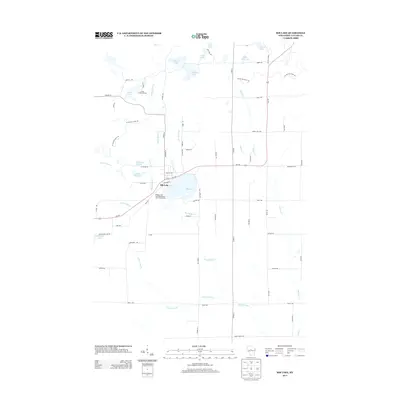
2013 Map of Rib Lake
USGS Topo · Published 2013About this map
Rib Lake serves as the focal point for this Northwoods Wisconsin landscape, where the village and the lake of the same name are positioned at the junction of Wi-102 and State Rd. The village footprint is defined by a grid including Railroad St and Fayette Ave, with the Village of Rib Lake Wastewater Treatment Facility situated along the southern shore. The surrounding terrain is heavily defined by its glacial history, evidenced by the path of the Ice Age Natl Scenic Trl which winds through the northern and western reaches of the quadrangle.
Find a feature on this map
67 named features on this map. Tap any name to fly to it.
Don’t see what you’re looking for? This feature index may not catch every label — zoom into the map to look around manually.
Map Details
Editions of this 2013 Rib Lake Map
This is the sole edition of this map. No revisions or reprints were ever made.
Other maps of this area

1902 · Marathon
USGS Topo · 1:125,000

1944 · Ogema
USGS Topo · 1:48,000

1945 · Rib Lake
USGS Topo · 1:48,000

1947 · Rib Lake
USGS Topo · 1:48,000

1947 · Ogema
USGS Topo · 1:48,000

1949 · Ogema
USGS Topo · 1:48,000

1949 · Rib Lake
USGS Topo · 1:48,000

1951 · Athens
USGS Topo · 1:48,000

1951 · Medford
USGS Topo · 1:48,000

1953 · Rice Lake
USGS Topo · 1:250,000