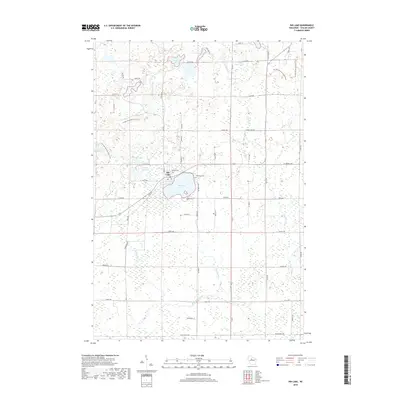
2018 Map of Rib Lake
USGS Topo · Published 2018About this map
Rib Lake sits at the heart of this Taylor County landscape, surrounded by a complex network of glacial water bodies and meandering waterways. The village itself is centered between its namesake lake and Little Rib Lake, with the Lakeview Cem positioned on the eastern shore. This 2018 survey illustrates a modern transition in land use, where former industrial or agricultural corridors are preserved as recreational assets, most notably the Ice Age National Scenic Trail winding through the western portion of the quadrangle.
Find a feature on this map
61 named features on this map. Tap any name to fly to it.
Don’t see what you’re looking for? This feature index may not catch every label — zoom into the map to look around manually.
Map Details
Editions of this 2018 Rib Lake Map
This is the sole edition of this map. No revisions or reprints were ever made.
Other maps of this area

1902 · Marathon
USGS Topo · 1:125,000

1944 · Ogema
USGS Topo · 1:48,000

1945 · Rib Lake
USGS Topo · 1:48,000

1947 · Rib Lake
USGS Topo · 1:48,000

1947 · Ogema
USGS Topo · 1:48,000

1949 · Ogema
USGS Topo · 1:48,000

1949 · Rib Lake
USGS Topo · 1:48,000

1951 · Athens
USGS Topo · 1:48,000

1951 · Medford
USGS Topo · 1:48,000

1953 · Rice Lake
USGS Topo · 1:250,000