Loading...
Loading map...1979 Map of Rib Lake
USGS Topo · Published 1980About this map
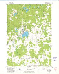
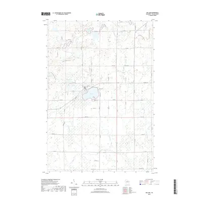
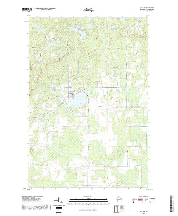
Rib Lake serves as the focal point of this late 1970s landscape, where the village of the same name is positioned along the lake's western shore. The town's layout is clearly defined, featuring its High Sch, the Lake View Cem, and a Sewage Disposal plant. This era shows a transition in land use, as the Old Railroad Grade north of Wayside Park hints at the area's former industrial rail reliance, now replaced by a network of local roads such as Kapitz Street and Holden Road.
Find a feature on this map
47 named features on this map. Tap any name to fly to it.
Don’t see what you’re looking for? This feature index may not catch every label — zoom into the map to look around manually.
Map Details
Date Portrayed1979
Date Published1980
PublisherU.S. Geological Survey
Map TypeTopographic
Scale1:24,000
Physical Dimensions21.53 x 27.24 inches
Editions of this 1979 Rib Lake Map
This is the sole edition of this map. No revisions or reprints were ever made.
Historical Maps of Rib Lake Through Time
9 maps found


Featured Locations
Source Details
SourceU.S. Geological Survey
CopyrightPublic Domain