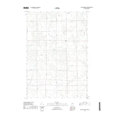
2018 Map of Rib River Lookout Tower
USGS Topo · Published 2018About this map
The Rib River Lookout Tower stands as a prominent landmark in this portion of Taylor County, overlooking a landscape defined by the drainage networks of the E Br Little Black River, Mink Cr, and Coffee Cr. This area of central Wisconsin exhibits a rural settlement pattern where family names and local routes like Lekie Dr, Grahl Dr, and Judnic Rd delineate the grid. The presence of Saint Peters Lutheran Cem near the northern boundary at Shady Lane Ave provides a specific point of interest for genealogists tracing local families. The map reveals how the terrain is managed through a system of county roads, such as Co Hwy M and Co Rd C, which connect isolated homesteads to the wider region. The dense hydrology, including Black Cr and Wood Cr, suggests a wetland-heavy environment characteristic of the Northwoods' southern edge.
Find a feature on this map
35 named features on this map. Tap any name to fly to it.
Don’t see what you’re looking for? This feature index may not catch every label — zoom into the map to look around manually.
Map Details
Editions of this 2018 Rib River Lookout Tower Map
This is the sole edition of this map. No revisions or reprints were ever made.
Other maps of this area

1902 · Marathon
USGS Topo · 1:125,000

1944 · Ogema
USGS Topo · 1:48,000

1945 · Rib Lake
USGS Topo · 1:48,000

1947 · Rib Lake
USGS Topo · 1:48,000

1947 · Ogema
USGS Topo · 1:48,000

1949 · Ogema
USGS Topo · 1:48,000

1949 · Rib Lake
USGS Topo · 1:48,000

1951 · Athens
USGS Topo · 1:48,000

1951 · Medford
USGS Topo · 1:48,000

1953 · Rice Lake
USGS Topo · 1:250,000