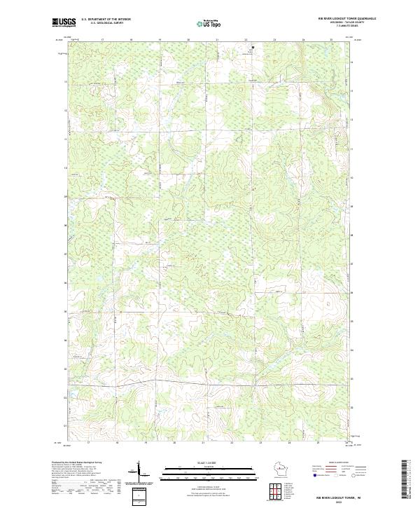
2022 Map of Rib River Lookout Tower
USGS Topo · Published 2022About this map
Saint Peters Lutheran Cem stands as a focal point of heritage in this northern Wisconsin landscape, situated near the northern boundary of the township. The area is defined by a dense network of waterways including the E Br Little Black River, Coffee Cr, and Mink Cr, which weave through the terrain. The road network follows a strict grid typical of the Public Land Survey System, with prominent routes such as Co Hwy M and Co Rd C providing transit through the township. The presence of Tower Ave suggests the geographic prominence of the local heights, while numerous family-named roads like Judnic Rd, Grahl Dr, and Dassow Rd hint at the generational landholdings of Taylor County. This map documents the rural character of the region, where woodlots and wetlands intersect with long-established farmsteads.
Find a feature on this map
41 named features on this map. Tap any name to fly to it.
Don’t see what you’re looking for? This feature index may not catch every label — zoom into the map to look around manually.
Map Details
Editions of this 2022 Rib River Lookout Tower Map
This is the sole edition of this map. No revisions or reprints were ever made.
Other maps of this area

1902 · Marathon
USGS Topo · 1:125,000

1944 · Ogema
USGS Topo · 1:48,000

1945 · Rib Lake
USGS Topo · 1:48,000

1947 · Rib Lake
USGS Topo · 1:48,000

1947 · Ogema
USGS Topo · 1:48,000

1949 · Ogema
USGS Topo · 1:48,000

1949 · Rib Lake
USGS Topo · 1:48,000

1951 · Athens
USGS Topo · 1:48,000

1951 · Medford
USGS Topo · 1:48,000

1953 · Rice Lake
USGS Topo · 1:250,000