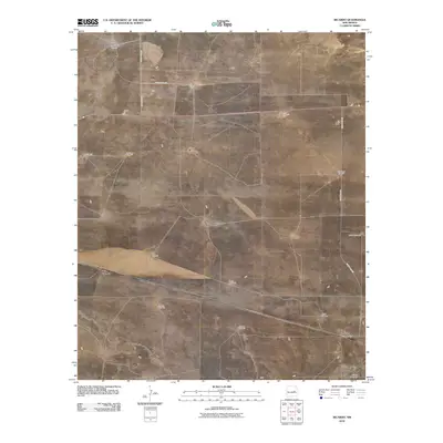
2010 Map of Ricardo
USGS Topo · Published 2010About this map
Ricardo (historical) and Evanola define the settlement pattern of this De Baca County landscape, illustrating a region where small ranching outposts and railroad-adjacent hubs have largely faded. The reliance on groundwater is evident through the high density of named water infrastructure, including Bertie Windmill, Northeast Windmill, and the Railroad Windmill, each a critical marker in an arid environment.
Find a feature on this map
19 named features on this map. Tap any name to fly to it.
Don’t see what you’re looking for? This feature index may not catch every label — zoom into the map to look around manually.
Map Details
Editions of this 2010 Ricardo Map
This is the sole edition of this map. No revisions or reprints were ever made.
Other maps of this area

1954 · Fort Sumner
USGS Topo · 1:250,000

1958 · Fort Sumner
USGS Topo · 1:250,000

1965 · Fort Sumner West
USGS Topo · 1:24,000

1965 · Windmill Draw
USGS Topo · 1:24,000

1966 · West Camp
USGS Topo · 1:24,000

1966 · Alamo Ranch
USGS Topo · 1:24,000

1966 · Ricardo
USGS Topo · 1:24,000

1966 · Alamogordo Dam
USGS Topo · 1:24,000

1966 · Cooper Ranch
USGS Topo · 1:24,000

1966 · Horney Ranch
USGS Topo · 1:24,000