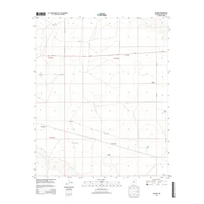
2013 Map of Ricardo
USGS Topo · Published 2013About this map
Evanola and the surrounding ranchlands of De Baca County define this high-plains landscape, where water security is the primary driver of development. The survey reveals a complex network of scattered water sources essential for livestock, including the Bertie Windmill, Northeast Windmill, and Railroad Windmill. These landmarks serve as the primary points of reference across the grid-patterned terrain, which is intersected by the corridor of Us-60 E.
Find a feature on this map
22 named features on this map. Tap any name to fly to it.
Don’t see what you’re looking for? This feature index may not catch every label — zoom into the map to look around manually.
Map Details
Editions of this 2013 Ricardo Map
This is the sole edition of this map. No revisions or reprints were ever made.
Other maps of this area

1954 · Fort Sumner
USGS Topo · 1:250,000

1958 · Fort Sumner
USGS Topo · 1:250,000

1965 · Fort Sumner West
USGS Topo · 1:24,000

1965 · Windmill Draw
USGS Topo · 1:24,000

1966 · West Camp
USGS Topo · 1:24,000

1966 · Alamo Ranch
USGS Topo · 1:24,000

1966 · Ricardo
USGS Topo · 1:24,000

1966 · Alamogordo Dam
USGS Topo · 1:24,000

1966 · Cooper Ranch
USGS Topo · 1:24,000

1966 · Horney Ranch
USGS Topo · 1:24,000