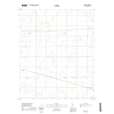
2023 Map of Ricardo
USGS Topo · Published 2023About this map
Evanola represents the primary settlement hub in this high-plains landscape of De Baca County, where the topography is defined by subtle elevation changes and drainage patterns across t3n r23e and t3n r24e. The area is characterized by a network of rural routes, including Co Rd 1-25 and the prominent Ricardo Rd, which facilitate movement between the expansive township and range sections. For those researching local history or genealogy, the presence of Morris Cem and the Ricardo Cem provides specific points of interest for identifying early residents of this ranching region. The map reflects a modern inventory of the landscape, documenting the intersection of section-line roads and the natural contours that have long dictated the placement of homesteads and cemetery sites.
Find a feature on this map
11 named features on this map. Tap any name to fly to it.
Don’t see what you’re looking for? This feature index may not catch every label — zoom into the map to look around manually.
Map Details
Editions of this 2023 Ricardo Map
This is the sole edition of this map. No revisions or reprints were ever made.
Other maps of this area

1954 · Fort Sumner
USGS Topo · 1:250,000

1958 · Fort Sumner
USGS Topo · 1:250,000

1965 · Fort Sumner West
USGS Topo · 1:24,000

1965 · Windmill Draw
USGS Topo · 1:24,000

1966 · West Camp
USGS Topo · 1:24,000

1966 · Alamo Ranch
USGS Topo · 1:24,000

1966 · Ricardo
USGS Topo · 1:24,000

1966 · Alamogordo Dam
USGS Topo · 1:24,000

1966 · Cooper Ranch
USGS Topo · 1:24,000

1966 · Horney Ranch
USGS Topo · 1:24,000