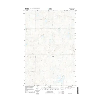
2014 Map of Rice Lake
USGS Topo · Published 2014About this map
Hesnault sits at the center of this 2014 survey, a quiet junction in the pothole region of North Dakota. The landscape is defined by the glacial depressions common to Ward County, most notably Rice Lake in the southeast and Mellam Lake to the west. This territory remains primarily agricultural, organized by a strict grid of section-line roads like 205th Ave SW and 177th Ave SW that traverse the prairie. Local access to the waterfront is concentrated along S Rice Lake Rd, which skirts the southern edge of its namesake water body. The density of small, unnamed wetlands across the quadrangle illustrates the complex drainage and natural water retention typical of the Northern Plains.
Find a feature on this map
17 named features on this map. Tap any name to fly to it.
Don’t see what you’re looking for? This feature index may not catch every label — zoom into the map to look around manually.
Map Details
Editions of this 2014 Rice Lake Map
This is the sole edition of this map. No revisions or reprints were ever made.
Other maps of this area

1928 · Minot
USGS Topo · 1:62,500

1948 · Minot NW
USGS Topo · 1:24,000

1949 · Minot NW
USGS Topo · 1:24,000

1954 · Minot
USGS Topo · 1:250,000

1954 · McClusky
USGS Topo · 1:250,000

1958 · McClusky
USGS Topo · 1:250,000

1958 · Minot
USGS Topo · 1:250,000

1980 · Minot
USGS Topo · 1:100,000

1980 · Lake Vernon
USGS Topo · 1:24,000

1980 · Rice Lake NW
USGS Topo · 1:24,000