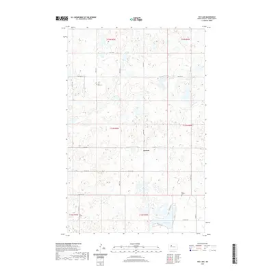
2020 Map of Rice Lake
USGS Topo · Published 2020About this map
Hesnault and the surrounding prairie of Ward County are captured in this 2020 survey, showing the enduring grid of the Public Land Survey System. The landscape is defined by its small, scattered wetlands and the prominent Rice Lake, which serves as a central hydrological feature for the region. Historical markers of the early settlers are preserved in the form of several small burying grounds, including Early Settlers Cem and Rose Valley Cem, which provide essential points of interest for genealogists tracing local family roots.
Find a feature on this map
20 named features on this map. Tap any name to fly to it.
Don’t see what you’re looking for? This feature index may not catch every label — zoom into the map to look around manually.
Map Details
Editions of this 2020 Rice Lake Map
This is the sole edition of this map. No revisions or reprints were ever made.
Other maps of this area

1928 · Minot
USGS Topo · 1:62,500

1948 · Minot NW
USGS Topo · 1:24,000

1949 · Minot NW
USGS Topo · 1:24,000

1954 · Minot
USGS Topo · 1:250,000

1954 · McClusky
USGS Topo · 1:250,000

1958 · McClusky
USGS Topo · 1:250,000

1958 · Minot
USGS Topo · 1:250,000

1980 · Minot
USGS Topo · 1:100,000

1980 · Lake Vernon
USGS Topo · 1:24,000

1980 · Rice Lake NW
USGS Topo · 1:24,000