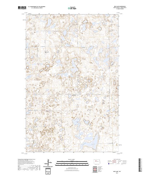
2024 Map of Rice Lake
USGS Topo · Published 2024About this map
The prairie landscape of Ward County is defined by its glacial potholes and waterfowl habitat, centered on the Ward County Waterfowl Production Area. This 2024 map documents a rural corner of North Dakota where small-scale settlements and agricultural section lines dictate the geography. The community of Hesnault sits near the center of the quadrangle, while several cemeteries, including Anna Township Cem, Early Settlers Cem, and Rose Valley Cem, provide key touchpoints for genealogical research and local history. Water is a dominant feature, with Rice Lake in the southeast and Mellam Lake in the west surrounded by numerous unnamed wetlands and basins. A network of county and township roads, such as Co Hwy 13 and Co Hwy 20, connect these isolated features across the township boundaries.
Find a feature on this map
30 named features on this map. Tap any name to fly to it.
Don’t see what you’re looking for? This feature index may not catch every label — zoom into the map to look around manually.
Map Details
Editions of this 2024 Rice Lake Map
This is the sole edition of this map. No revisions or reprints were ever made.
Other maps of this area

1928 · Minot
USGS Topo · 1:62,500

1948 · Minot NW
USGS Topo · 1:24,000

1949 · Minot NW
USGS Topo · 1:24,000

1954 · Minot
USGS Topo · 1:250,000

1954 · McClusky
USGS Topo · 1:250,000

1958 · McClusky
USGS Topo · 1:250,000

1958 · Minot
USGS Topo · 1:250,000

1980 · Minot
USGS Topo · 1:100,000

1980 · Lake Vernon
USGS Topo · 1:24,000

1980 · Rice Lake NW
USGS Topo · 1:24,000